
- Home

- Places
- Activities/Tours
- Foodies
- Hotels/Resorts
- Protected Areas
- Home
- Places
- Activities/Tours
- Foodies
- Hotels/Resorts
- Protected Areas
- Important Info
Now Reading: Xunantunich
1-
01
Xunantunich
Xunantuncih
Location of Xunantunich
Xunantunich, meaning “Maiden of the Rock” in the Mopan and Yucatec Maya languages, is an impressive Ancient Maya archaeological site situated in western Belize’s Cayo District. Located roughly 70 miles (110 km) west of Belize City, it stands atop a ridge overlooking the Mopan River, a mere 0.6 miles (1 km) from the Guatemalan border. During the Late and Terminal Classic periods (c. 700-900 AD), Xunantunich served as a vital Maya civic ceremonial center for the Belize Valley region, which at its peak, was home to nearly 200,000 people.
Excavation at Xunantunich
Modern interest in Xunantunich began with Thomas Gann in the mid-1890s. Gann, a British surgeon and district commissioner, was fascinated by Maya archaeology. His work was followed by Sir J. Eric S. Thompson, who brought a more systematic approach to the site and established the region’s first ceramic chronology. In 1959–60, Euan MacKie, a member of the Cambridge Expedition to British Honduras, conducted excavations at Xunantunich. His detailed recording of the stratigraphy led him to propose that a sudden disaster, potentially an earthquake, marked the end of the Classic period occupation. MacKie’s report, “Excavations at Xunantunich and Pomona, Belize, in 1959–60,” provides valuable insights into the site’s history. More recently, the Xunantunich Archaeological Project (XAP), the Xunantunich Settlement Survey (XSS), and the Belize Valley Archaeological Reconnaissance Project (BVAR) have contributed significantly to understanding Xunantunich and its surrounding region.
History of Xunantunich
Evidence suggests that Xunantunich was settled as early as the Preclassic period, though it only began to rise in prominence around AD 600–670 during the Samal phase. The Hats’ Chaak phase (AD 670–750) saw a boom in architectural construction, coinciding with Xunantunich’s strengthened connection with the Naranjo polity. After a violent event led to its abandonment around AD 750, Xunantunich re-established itself during the Tsak’ phase in AD 780–890.
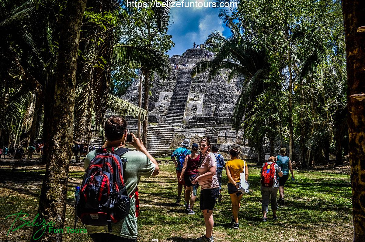
The core of Xunantunich covers approximately one square mile (2.6 km²), featuring six plazas surrounded by over 26 temples and palaces. Surveys by the XSS have identified 140 mounds per square kilometer within the broader polity. The site is divided into four sections: Group A, Group B, Group C, and Group D, with Group A being the most central and significant.
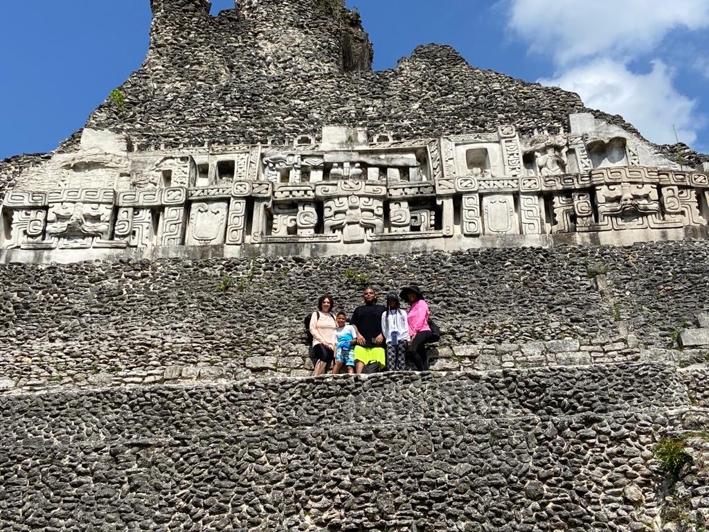
Dominating the site is “El Castillo,” a pyramid standing approximately 130 feet (40 m) tall, making it the second tallest structure in Belize. El Castillo served as the “axis mundi” of the site. Constructed in two stages, the pyramid features elaborate stucco friezes on its final stage, depicting scenes such as the birth of a god, gods of creation, and the tree of life.
Built around AD 800, Structure A-1 bisected Plaza A-I, transforming it into a ritual space for the rulers and elite. Its construction also obstructed access to public spaces.
In 2016, a team led by Jaime Awe discovered a large, untouched burial chamber containing the remains of a muscular male, aged 20-30 years. The chamber also held ceramic vessels, obsidian knives, jade pearls, animal bones, and stone artifacts.
Xunantunich expanded its power during a period when many other Maya civilizations were declining. It outlasted most sites in the region by a century. It superseded Buenavista as the center of sociopolitical administration for the upper valley, and the primary location for elite ancestral and funeral rites. Its location atop a hill made it easily defensible. Abundant evidence suggests trade and communication with other sites. For example, pine, sourced from the Mountain Pine Ridge via the Macal River, was imported to Xunantunich and controlled by the elite. Similarities in pottery among different sites also indicate relationships and political currency across the Belize Valley.
As Naranjo, a regional polity, began to disintegrate around the 9th century, Xunantunich experienced a power shift. The architecture and hieroglyphs of Xunantunich bear stylistic similarities to those of Naranjo, suggesting a transfer of influence. The layout of Xunantunich’s core site closely resembles Naranjo’s Group B layout, with a shared north–south axis and similar building placements and shapes. Xunantunich stands as a testament to the ingenuity and resilience of the Maya civilization. Its well-preserved structures and rich history continue to captivate archaeologists and visitors alike, offering valuable insights into the ancient world.
Tours to Xunantunich
Share
Related Posts
Stay Informed With the Latest & Most Important News

Previous Post
Next Post
DonationsAdvertisement
 Loading Next Post...Scroll to TopPopular Now
-
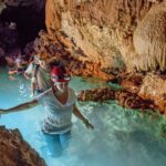
 01Discover Belize’s Hidden Gem – Cockscomb Basin Wildlife Sanctuary
 -
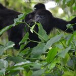 02The Community Baboon Sanctuary: Unmasking the Primate Haven
 -
 03Belize All-Inclusive Resorts: Your Ultimate Guide to Paradise
 -
 04Xunantunich
 -
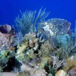 05The Belize Barrier Reef: A UNESCO World Heritage Site
 -
 06The Best Time to Visit Belize: A Comprehensive Guide
 -
 07Caracol Belize
- Activities/Tours
- Activities/Tours